
How to Triangulate Your Position When GPS Betrays You

You’re three days into a backcountry trek. The sun is racing the horizon, wind sneaks through the trees, and the trail that looked obvious at noon now feels like a choose-your-own-misery novel.

Land navigation is the oldest skill on this site and the one I keep coming back to. It also transfers: the same map-reading that keeps you found on a ridge in the Ouachitas is what tells you which road out of town is actually passable when the interstate is a parking lot.
Everything here assumes the satellites are gone, the phone is dead, or you simply don’t trust either one today. That’s a reasonable assumption more often than people think.
New to this? Read these three, in this order.
After that, reading a topographic map and correcting for declination are the two that unlock everything else. The full library is below.
You’re three days into a backcountry trek. The sun is racing the horizon, wind sneaks through the trees, and the trail that looked obvious at noon now feels like a choose-your-own-misery novel.

Ever notice how your GPS works flawlessly… right up until you actually need it? One dead battery, one blocked satellite signal, and suddenly your $1,200 smartphone is just a fancy brick.
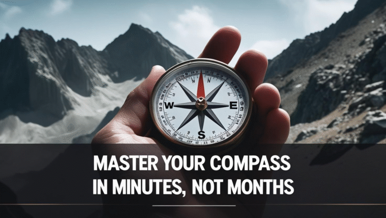
If you think learning how to read a compass requires a survival school diploma and a ceremonial handshake with Bear Grylls, think again.

Imagine this: your phone’s dead , the trail you swore was “right here” has vanished, and every tree looks like it’s mocking you.

Because GPS Lies, and Your Glovebox Deserves Better Than Expired Taco Sauce You’re deep in the backcountry. Your GPS app was working fine—until it wasn’t.

Whether you're backpacking , hiking , or just pretending you’re on a Discovery Channel survival show with nothing but a granola bar and stubborn confidence, land navigation isn’t optional—it’s…