
Why Physical Maps Still Matter: Your Backup When Technology Fails
We’ve all experienced that sinking feeling when our phone dies just as we’re trying to navigate somewhere unfamiliar. Or the frustration of losing GPS signal in a remote area, leaving us staring at a blank screen where our route should be. These moments remind us how completely we’ve come to rely on digital navigation—and how helpless we feel when it’s not available.
I learned this lesson the hard way during a camping trip in Montana. My phone died while I was hiking alone on what I thought was a simple trail. What should have been a two-hour walk turned into six hours of wandering before I finally found my way back to camp. That experience taught me something important: having a backup plan for navigation isn’t just smart—it’s essential.
Physical maps might seem old-fashioned in our smartphone world, but they offer something digital tools can’t: complete reliability. They don’t need batteries, cell towers, or software updates. When everything else fails, a good map still works exactly as it did fifty years ago.
Why Digital Navigation Sometimes Lets Us Down
Don’t get me wrong—GPS and smartphone apps are incredible tools. They’ve revolutionized how we travel and explore. But they’re not perfect, and understanding their limitations helps explain why physical maps still matter.
Power dependency is the most obvious issue. Your phone’s battery will eventually die, usually at the worst possible moment. I’ve seen this happen countless times: people confidently heading into the wilderness with just their phone, only to realize hours later that their navigation is gone along with their battery.
Signal requirements create another vulnerability. GPS needs satellite signals, and navigation apps need cellular data. In remote areas, mountains, or during infrastructure problems, these signals can be weak or nonexistent. I’ve driven through parts of rural America where my phone showed “No Service” for hours at a time.
System failures happen more often than we’d like to admit. Natural disasters knock out cell towers. Cyberattacks can disrupt services. Even simple software glitches can leave you without navigation when you need it most.
But beyond these technical limitations, there’s something else we lose when we rely entirely on digital navigation: situational awareness. When we follow turn-by-turn directions, we’re not really learning the area or paying attention to our surroundings. We’re just following commands from a device.
What Makes a Physical Map Worth Having
Not all maps are created equal, especially when it comes to emergency use. That free map from the gas station might help you find the interstate, but it won’t be much use in a real crisis. Good emergency maps share three important qualities:
Durability is crucial because emergencies rarely happen in perfect conditions. Your map needs to survive rain, wind, and rough handling. Look for waterproof or water-resistant materials that won’t fall apart when you need them most.
Detail separates useful maps from decorative ones. The best maps show not just roads but terrain features, elevation changes, water sources, and alternate routes. This information can be lifesaving when main roads are blocked or impassable.
Reliability means the map works anywhere, anytime, without external dependencies. No batteries, no signal, no problem.
Types of Physical Maps to Consider
Building a practical map collection doesn’t require becoming a cartography expert. Focus on a few key types that cover different needs:
Topographic maps are the workhorses of emergency navigation. They use contour lines to show elevation changes, helping you understand the terrain. The U.S. Geological Survey produces excellent topographic maps that are detailed, accurate, and affordable. Companies like National Geographic make waterproof versions that can handle tough conditions.
Road atlases provide broader coverage for travel and evacuation planning. A good state atlas shows highways, back roads, and cities across large areas. Look for spiral-bound versions with durable pages—they’re much easier to use while traveling.
Local area maps from state parks, national forests, or recreation areas often contain valuable information not found elsewhere. These might show trails, campsites, water sources, or facilities that could be important during emergencies.
Custom maps let you create something tailored to your specific needs. Services like CalTopo allow you to center maps on your home, mark important locations, and highlight evacuation routes.
Building Your Collection of Physical Maps
Start small and build gradually. You don’t need to buy dozens of maps right away—begin with what’s most practical for your situation.
Start with your local area. Get a topographic map of where you live and work. Understanding your immediate surroundings is the foundation of emergency navigation. You can order USGS maps online or find them at outdoor stores for around $10-15.
Add regional coverage with a state road atlas. This single purchase covers multiple scenarios, from road trips to emergency evacuation. A good atlas costs $15-25 and will last for years.
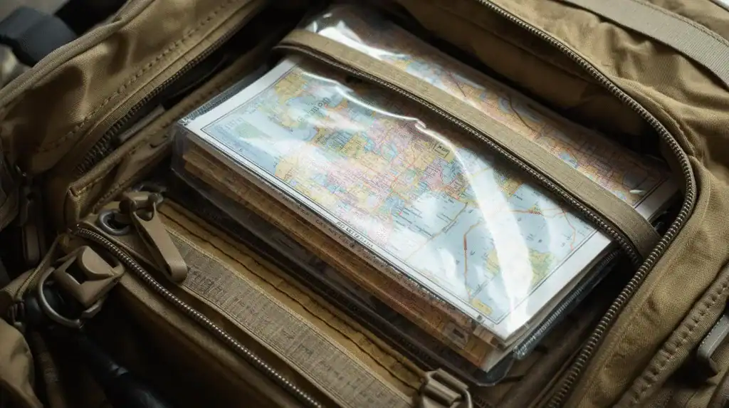
Protect your investment by storing maps in waterproof cases or bags. A soggy, torn map isn’t much help when you need it. Simple zip-lock bags work fine, or you can buy dedicated map cases for about $10.
Mark them up to make them more useful. Highlight your home, important family locations, hospitals, and alternate routes. Use colored pens but don’t clutter the map—focus on information you’d actually need in an emergency.
Keep them accessible. Store maps where you can grab them quickly: your car’s glove compartment, emergency kit, or travel bag. In a crisis, you won’t have time to search through storage boxes.
A basic collection—local topo map, state atlas, and storage case—costs less than $50. That’s a small price for navigation insurance.
Learning to Use Physical Maps
Owning maps is only half the equation. You need basic skills to use them effectively, but these aren’t difficult to learn. This is fun to me, something to learn and use for the rest of my life.
Reading contour lines is the key to understanding topographic maps. These squiggly lines show elevation—closely spaced lines mean steep terrain, while widely spaced lines indicate flatter areas. Spend some time studying a local topo map and comparing it to areas you know. You’ll quickly start recognizing patterns.
Using a compass with your map provides precise navigation. Learn to orient your map to match your surroundings and use the compass to determine directions. This skill takes practice but isn’t complicated.
Understanding scale helps you judge distances and estimate travel times. A 1:24,000 scale map means one inch equals 2,000 feet in reality. Get familiar with your map’s scale so you can plan realistically.
Identifying landmarks lets you confirm your location. Practice matching what you see around you—mountains, rivers, buildings—with symbols on the map. This builds confidence and situational awareness.
Start practicing in familiar areas where mistakes don’t matter. Take your map on weekend walks or drives to places you know well. Practice reading it without checking your phone. These low-pressure situations build skills you can rely on when it matters.
When Physical Maps Really Matter
Physical maps prove their worth in real emergencies. Here are situations where they’ve made the difference:
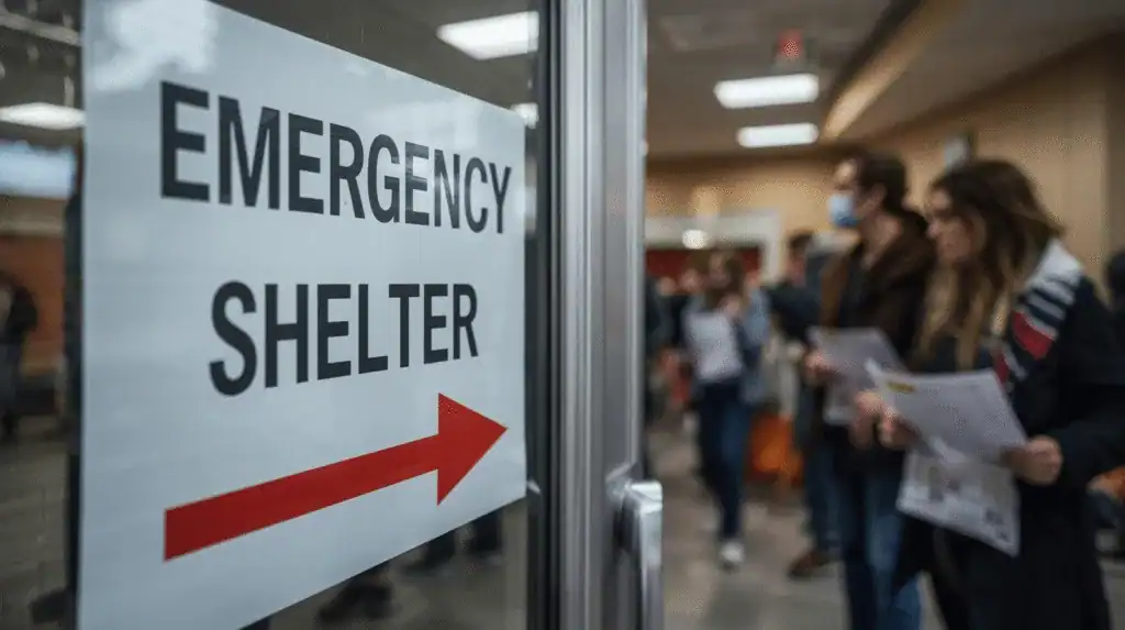
During power outages, cell towers often fail along with the electrical grid. Hurricane Sandy in 2012 left millions without power or cell service for days. People with paper maps could still navigate to emergency shelters or find open stores.
Natural disasters frequently disrupt digital infrastructure. The 2011 Japan earthquake and tsunami knocked out communication networks across huge areas. Many people relied on paper maps to reach safety or find family members.
In remote areas, cell coverage is often spotty or nonexistent. Hikers, hunters, and rural residents regularly find themselves beyond the reach of digital navigation. A topographic map works just as well in the middle of nowhere as it does in the city.
During traffic emergencies like flash floods or accidents, real-time navigation apps can’t keep up with rapidly changing conditions. A road atlas lets you quickly identify alternate routes without waiting for app updates.
Getting Started Today
Ready to add some analog backup to your digital world? Here’s what to do:
Check what you already have. Look through your car, emergency supplies, and storage areas. You might already have some maps, though they may be outdated or not suitable for emergency use.
Start with your local area. Order a USGS topographic map of your hometown. This gives you immediate, practical value and helps you understand your surroundings better.
Practice using it. Take your new map on a familiar walk or drive. Practice reading the contour lines, identifying landmarks, and following routes without relying on your phone.
Add a state atlas for broader coverage. Choose one with durable binding and clear printing. Mark important locations and alternate routes to key destinations.
Learn basic compass skills if you don’t already have them. Many outdoor stores offer brief classes, or you can find tutorials online. The investment in time pays off in confidence and capability.
Why This Matters
In our connected world, we sometimes forget that simple solutions are often the most reliable. Your smartphone is an amazing device, but it’s also complex and dependent on systems beyond your control. A paper map is about as simple as technology gets—and that’s exactly what makes it so dependable.
This isn’t about rejecting modern technology or becoming a wilderness survival expert. It’s about having a reliable backup for something as fundamental as knowing where you are and where you’re going. Whether you’re dealing with a dead phone battery, a natural disaster, or just exploring somewhere new, physical maps provide peace of mind and practical capability.
The cost is minimal—less than most people spend on a night out. The skills are straightforward and actually quite enjoyable to learn. And the benefits extend beyond emergencies. Using physical maps makes you more aware of your surroundings and helps you understand geography in ways that turn-by-turn directions never will.
Start small, practice regularly, and build your collection over time. The next time your phone dies or the GPS fails, you’ll be grateful for that old-fashioned piece of paper that still knows exactly where you are and how to get you home safely.
Affiliate Note
Heads-Up, Fellow Preppers: Some links in this post are sponsored or affiliate links. If you click and buy, I may earn a small commission—enough to keep my peanut butter stash stocked and maybe sneak in an extra can of chili for the bunker.