The Fail-Proof DIY Land Nav Kit (7 Pieces That Fit in Your Glovebox)
Because GPS Lies, and Your Glovebox Deserves Better Than Expired Taco Sauce
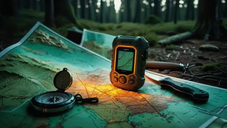
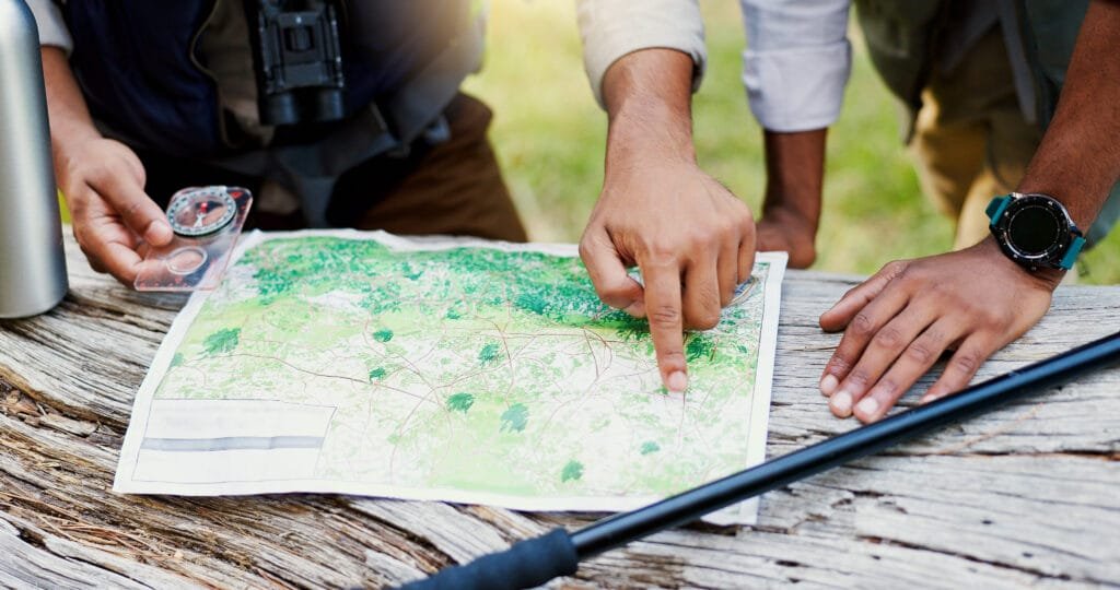
What If Your GPS Dies Mid-Hike… or Worse, Mid-Escape?
You’re deep in the backcountry. Your GPS app was working fine—until it wasn’t. Now you’re standing in a clearing with three paths that all look the same, your phone is as useful as a brick, and you just realized you forgot to download the offline map.
Meanwhile, your buddy—who “totally remembered this trail from two summers ago”—is eyeballing pine cones like they’re snacks.
Here’s the thing: this happens all the time. And not just to rookies. Overconfidence, lack of prep, and digital dependency are a dangerous combo. Search and rescue units across the U.S. are logging hundreds of rescues a year, all because someone figured Google Maps would work in the middle of a canyon.
But that’s not you. You’re smarter. You’ve got a DIY land nav kit stashed in your glovebox that turns “Oh crap” into “I got this.”
This post will help you build a compact, rugged, DIY land nav kit that actually fits in your glovebox—and might just save your hide.
I mentioned this in the last post, land navigation is my absolute favorite area of the prepper/outdoorsy/survival/backpacker community. I guess you could call me a Land Nav Nerd. I seriously believe it is a dying art. We all need to learn more about it, because there will possibly come a time when map reading and following a compass are needed. If and when(God forbid) the grid goes down and you can’t rely on GPS. You will need a time tested and in my opinion MUCH better way to navigate and get home.
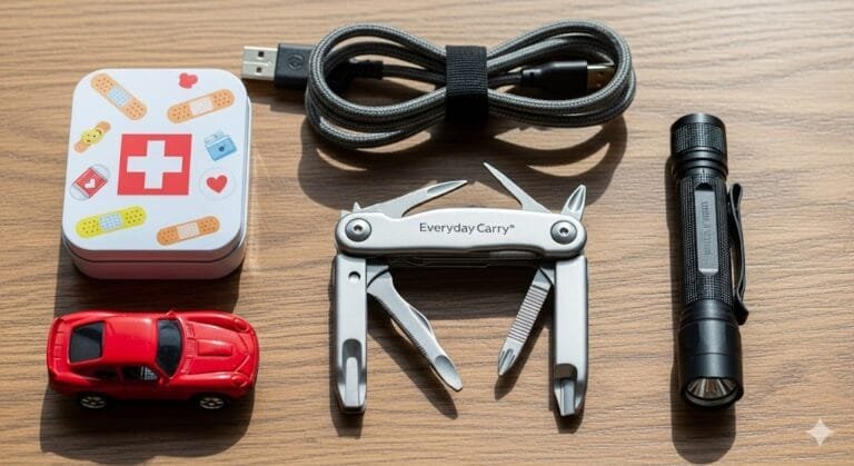
Anatomy of a Bulletproof DIY Land Nav Kit
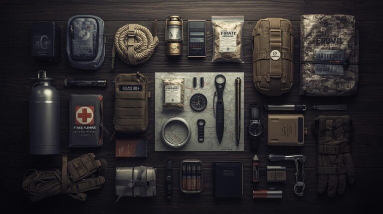
The goal? Compact, rugged, and ready. You’re not hauling a duffel bag full of military gear—you’re building a kit that could fit next to your registration and that flashlight you swear still works (but probably doesn’t).
Each item below is field-tested, mission-critical, and small enough to tuck inside a pouch the size of a paperback novel. Let’s break it down like a smart prepper with no time for fluff.
Check This Out: Dirty Civilian’s Land Nav Basics
If you’re serious about mastering navigation, you have to check out Dirty Civilian’s “Land Nav Basics Made Easy | Maps, Compass, & Protractors” video. It’s a no-nonsense, field-tested walkthrough of the tools and methods we’re talking about—compass techniques, map plotting tips, protractor use—and it’s all delivered in clear, confident terms that resonate with anyone who wants to go from GPS-dependent to navigation competent.
In two directions: it reinforces what you’re doing here, and it shows you how to do it. Once you’ve built your glovebox kit, that video is a perfect hands-on demo to sharpen your skills. It’s like having a land‑nav mentor in your screen—just pause it, follow the steps, and literally walk your way to proficiency.
I know I am probably sounding more like a fanboy for Dirty Civilian’s content. The thing is they are spot on when it comes to their type of content. What I like the most is, if they don’t know what they are talking about for whatever the current video is about. They always consult with an expert in the field. Most of the time those experts are Special Forces “SF” guys or other SEAL, Army Ranger or Air Force special operators.
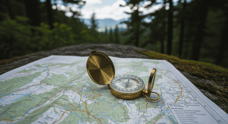
🔹 1. The Heart of the Kit: Your Baseplate Compass
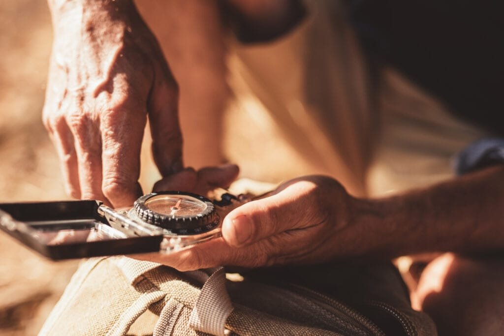
Let’s get one thing straight—this isn’t a pirate map and this isn’t a toy. A good compass is the backbone of land navigation. It’s how you shoot a bearing, follow a route, and actually understand where the heck you are.
Compass Breakdown:
| Model | Price | Why It Rocks |
|---|---|---|
| Suunto A-10 | $15-20 | Tough, simple, beginner-friendly |
| Silva Ranger 2.0 | $35-45 | Mirror sighting, declination adjustment |
| Suunto MC-2 | $65-80 | Global needle, clinometer, and built like a tank |
Why Declination Matters:
The Earth’s magnetic north and true north are not the same thing. Depending on where you are, that difference—called declination—could be anywhere from a couple degrees to 20+. One degree off per mile? That’s 92 feet off-course. Hike 5 miles? You’re in the wrong county.
Go to NOAA’s online calculator, enter your ZIP code, and adjust your compass before you go. This one step separates confident navigators from “Where the hell am I?” hikers.
Field Skill Tip:
- Practice from home. Pick a landmark (like a neighbor’s weird mailbox) and shoot a bearing from your front porch.
- Follow the bearing across your yard like you’re on a mission. Get used to how small errors add up.
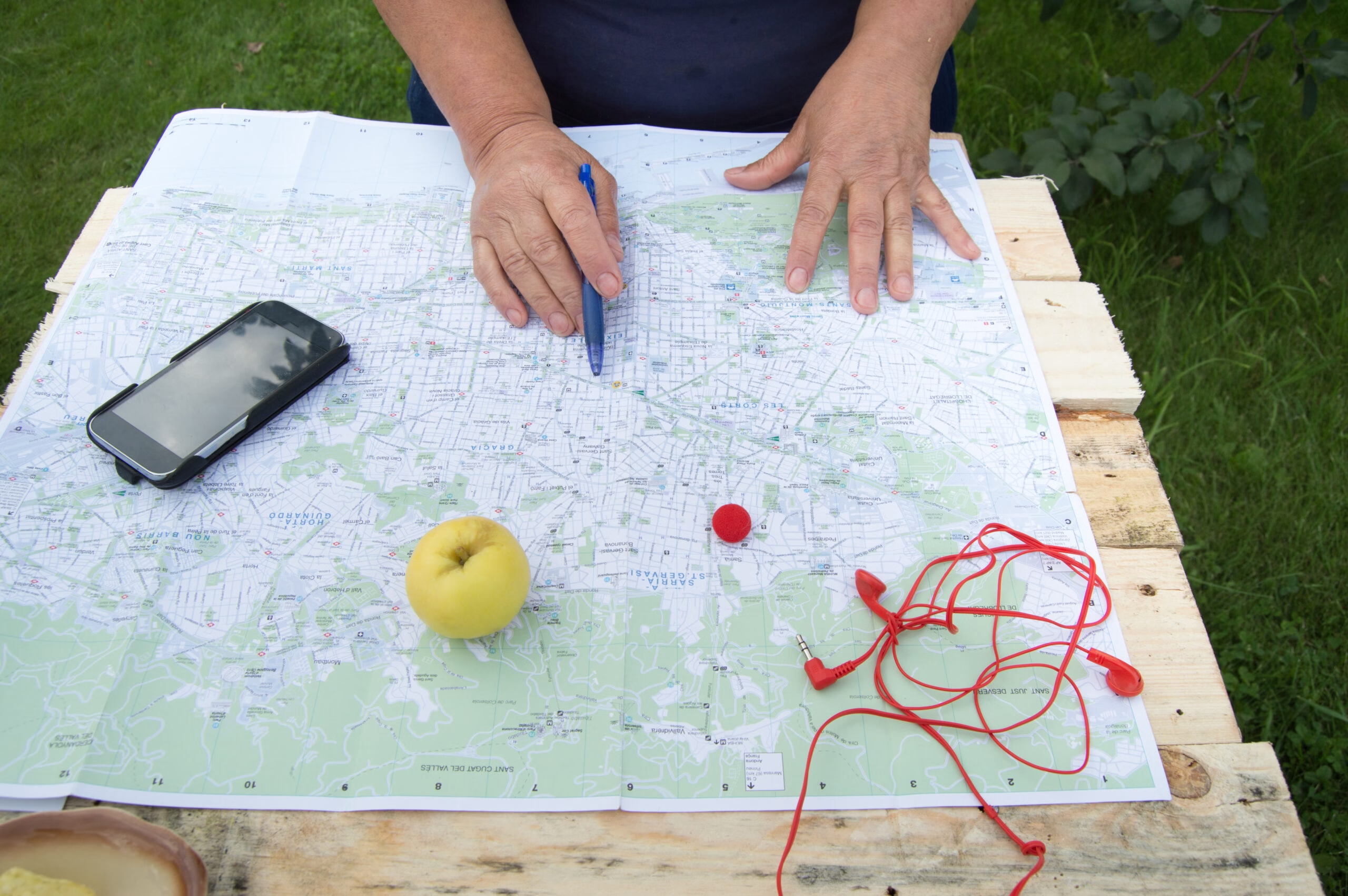
🔹 2. The Backup Brain: Topographic Maps
Phones give you zoom. Maps give you context.
When you hold a topo map, you see the entire area—elevation lines, creeks, peaks, ridgelines, saddles. You understand how everything is connected. And most importantly? It works even when your phone is swimming in a creek.
What Kind of Map?
- USGS 7.5-minute quadrangles – The gold standard. Highly detailed, easy to find online.
- Forest Service maps – Great for trail networks, access points, and fire roads.
- Custom prints from CalTopo – Print exactly the area you plan to explore.
Waterproofing Tricks:
- Map case: Get a reusable waterproof map case. The kind that folds but doesn’t crinkle like laminated paper.
- DIY lamination: Laminate individual quadrants of your route, hole-punch them, and stick them on a binder ring.
- Rite in the Rain printer paper: For next-level nerds who want to print their own custom water-resistant maps at home.
Want to test your map-reading mojo in the real world? Start with Land Nav Scenarios You Should Actually Practice or take on the 7-Day Bug-Out Challenge—bonus points if you don’t cry by Day 3.
Map Hack:
Learn the accordion fold. Fold your map so you can open to your current quadrant without unfolding the whole thing like a road trip dad in 1987. Bonus: makes you look cool at trailheads.
🔹 3. Ranger Beads: Your Built-In Odometer
Distance matters. If you’re walking without tracking how far you’ve gone, you’re guessing—and guessing in the backcountry gets people on the evening news.
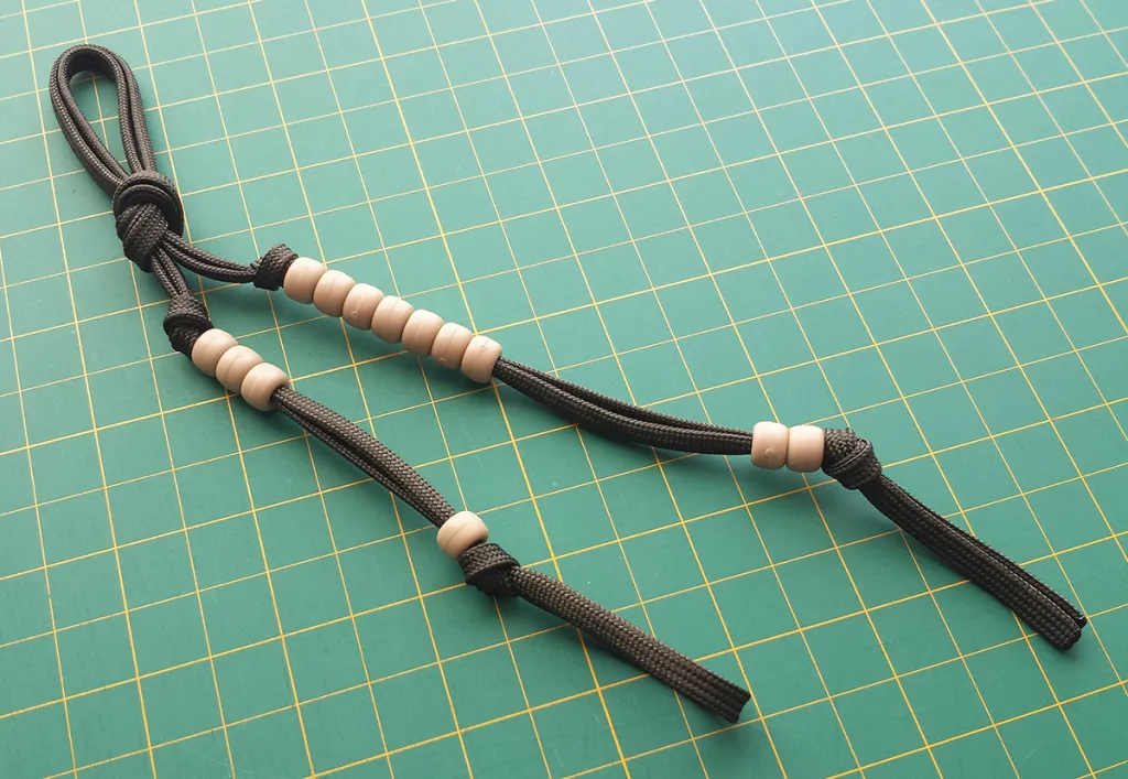
What Are Ranger Beads?
A set of beads on paracord (usually 9 below, 4 above). Every time you walk 100 meters, you move a bead up. Every 1000 meters, move one from the top. Simple. Quiet. No batteries.
How to Make Your Own:
- Paracord + 13 beads = $3 at your local craft store.
- YouTube it. Takes 10 minutes, and you can customize colors.
- Attach to your pack strap or chest rig. Make it muscle memory.
Calibrate Your Count:
- Find a football field or trail marker with known distance.
- Walk it with and without gear.
- Count your paces per 100 meters—this is your new nav unit.
- Write it in your notebook. Tattoo it if you’re hardcore.
Pro Tip:
Your pace count changes with slope, fatigue, and weight. Re-check it seasonally—especially if you’re carrying a bug-out bag instead of a hydration pack.
🔹 4. UTM Grid Tool: The Math Nerd’s Secret Weapon
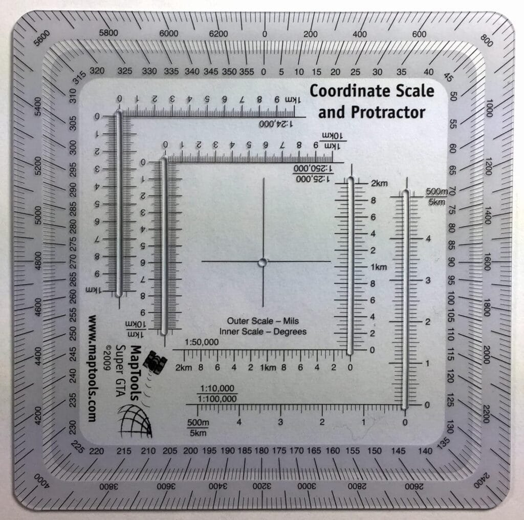
If compass bearings are your direction, UTM coordinates are your address. Want to be able to say, “I’m at 11S 0486129 4437291”? This is how.
Why UTM over Lat/Long?
- Uses meters, not degrees/minutes. No weird conversions.
- Used by military and SAR teams.
- More precise. Easier to read with topo maps.
Tools to Pack:
- Clear plastic UTM protractor (MapTools or military surplus)
- Compass with integrated scales (bonus if it has a roamer)
- Mechanical pencil for crisp, waterproof markings
Pro Practice:
- Plot random points on your map and find them in the field.
- Cross-reference with waypoints in your GPS app.
- Try triangulating your position with UTM + compass bearings—it’s nerdy and powerful.
Need a quick-start crash course before diving into UTM grids and bearings? I’ve got you. Check out Beginner Land Nav Tips That Don’t Suck. No fluff, no ego, just navigation that works.
🔹 5. Rite in the Rain Notebook: Because Memory is a Liar
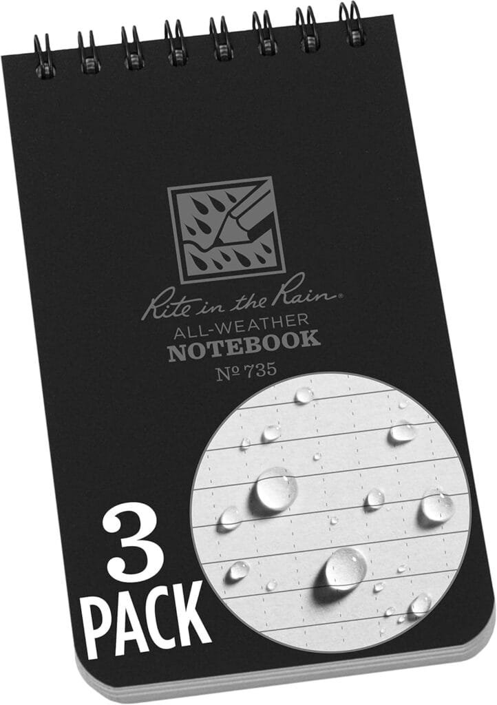
Phones crash. Memory fades. But paper? Paper remembers.
What to Record:
- Your starting coordinates
- Bearings to visible features
- Landmarks, trail junctions, water sources
- Notes on weather, visibility, hazards
- Your buddy’s bad jokes for later mockery
Setup Tips:
- Add a small ruler or scale sticker to the inside cover.
- Use a mechanical pencil (writes better in rain and on vertical surfaces).
- Include SAR phone numbers, park ranger contact info, and local emergency frequencies.
🔹 6. Let There Be Light: Small, Tough, Reliable

The woods don’t shut off at sunset. That’s when most people really get lost.
Light Features That Matter:
- Red light mode for night navigation without blinding yourself
- Multiple brightness settings
- Hands-free options like mini headlamps or clip lights
- Long shelf life and low battery drain
Lightweight Favorites:
| Light | Weight | Notes |
|---|---|---|
| Petzl e+LITE | 26g | 10-year shelf life, packs into a matchbox |
| Streamlight Nano | Tiny | Clips to zipper pulls, bright for size |
| Photon Freedom Micro | Mil-spec reliability, variable brightness, red lens option |
Always pack extra batteries—tape them together so they don’t rattle or short.
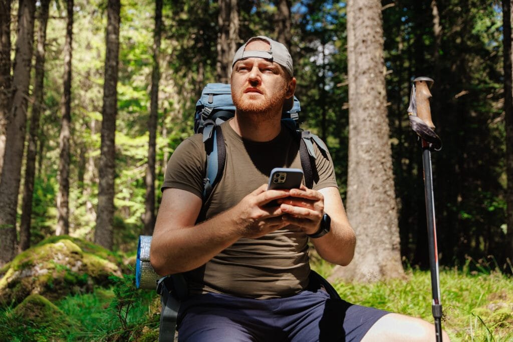
🔹 7. Digital Tools (With Analog Backup)
We’re not pretending smartphones are evil—we’re saying they fail, and when they do, you still need to be the guy who can find north without asking Siri.
Apps to Install:
- CalTopo: Ideal for building detailed custom maps with terrain shading, slope angle, fire history, and printable offline layers that don’t miss a detail.
- AllTrails: Good for hiking routes and crowd-sourced reviews
- BackCountry Navigator: Techy, feature-rich, offline-ready
Backup Plan Checklist:
- Download maps before you leave civilization.
- Cache extra miles in every direction—you might detour.
- Save critical waypoints: trailheads, water sources, bailouts.
Cold Weather Hack:
Phones die faster in the cold. Wrap it in a spare sock or hand warmer in your jacket pocket, not your outer shell.
What Is DIY Land Nav?
DIY Land Navigation is the art of finding your way without relying on cell towers, satellite signals, or that friend who swears he remembers the trail from last year(I’m talking about you Steve). It means using a compass, a topo map, and your own brain to determine where you are, where you’re going, and how to get there without getting lost—or worse, making the local SAR team cancel dinner plans.
At its core, DIY land nav isn’t about being anti-technology—it’s about having a backup when your phone decides to take a dirt nap. It’s a hands-on, skill-based approach to navigation that builds confidence, competence, and a healthy respect for terrain. Think of it as the ultimate “reboot” for your internal GPS—only this one doesn’t crash when you sneeze on the screen.
Final Waypoint: Why This Kit Isn’t Just Gear—It’s a Mindset
Building a glovebox DIY land nav kit isn’t about being a gear junkie or pretending you’re in some Hollywood survival movie. It’s about taking responsibility for yourself when things go sideways—because sooner or later, they will.
This kit says, “I don’t panic when my phone dies.”
It says, “I know where I am and how to get out.”
It says, “I’ve traded helpless for capable.”
That’s not just preparedness—that’s freedom.
You’re not assembling junk for the sake of a checklist. You’re building something compact, intentional, and powerful—something that fits in your glovebox but arms you with the confidence of someone who doesn’t rely on tech or trail markers to stay found.
And once you’ve got this kit built, tested, and trusted?
You’ll walk into the woods knowing you’re not just exploring—
you’re leading.
Heads-Up, Fellow Preppers:
Some links in this post are sponsored or affiliate links. If you click and buy, I may earn a small commission—enough to restock my peanut butter and maybe add one more can of chili to the stash. I only recommend gear I trust, use, and would hide in a bug-out bag.