
Best Maps for Preppers 2025 | Topo & Survival Picks
Your phone’s dead. The blue dot is gone. Suddenly every tree looks cloned, every ridge feels the same, and you’re one bad decision away from starring in a “Lost Prepper Rescued After Three Days” headline.
If you’re banking on digital apps instead of the Best Maps for Preppers, you’re making a rookie mistake. Preppers know the truth: when the grid’s down, paper maps are king.
The best maps for preppers aren’t tourist freebies or highway pamphlets. They’re topographic maps for survival — detailed charts that reveal rivers, choke points, water sources, elevation, and terrain traps.
Digital apps might help on a sunny weekend hike, but in a real grid-down scenario, they fail. Paper topo maps don’t crash, don’t need charging, and won’t get lost in an app update.
Here’s why survival maps in 2025 still matter:
- Zero reliance on power — batteries die, paper doesn’t.
- Precision detail — contour lines, ridgelines, creeks, and resource points GPS won’t show.
- Durability — waterproof topo maps and Rite in the Rain paper mean usable in storms.
- Versatility — works perfectly with compasses, pace beads, and GPS for layered navigation.
If you’re serious about bug-out readiness, stack maps like ammo: more is always better.
The Best Prepper Maps in 2025
1. USGS Topographic Maps
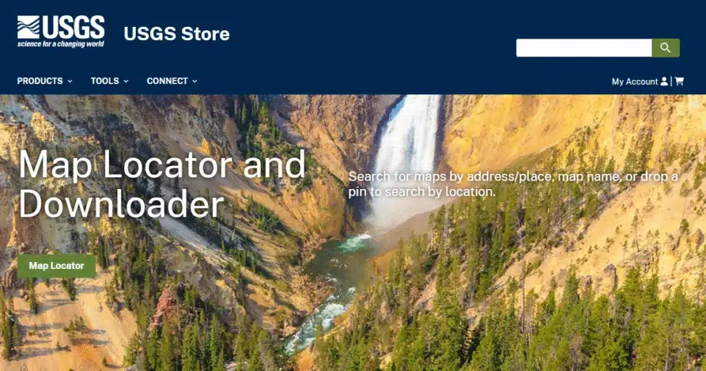
Why It Rocks: The gold standard of topographic best maps for preppers. Produced by the U.S. Geological Survey, these show every contour, elevation line, stream, and landmark with professional accuracy.
Best For: Preppers who want precise detail of their home region or bug-out route.
Pro Tip: Print duplicates on waterproof paper and stash extras in vehicles and bug-out bags.
2. NatGeo Trails Illustrated Maps
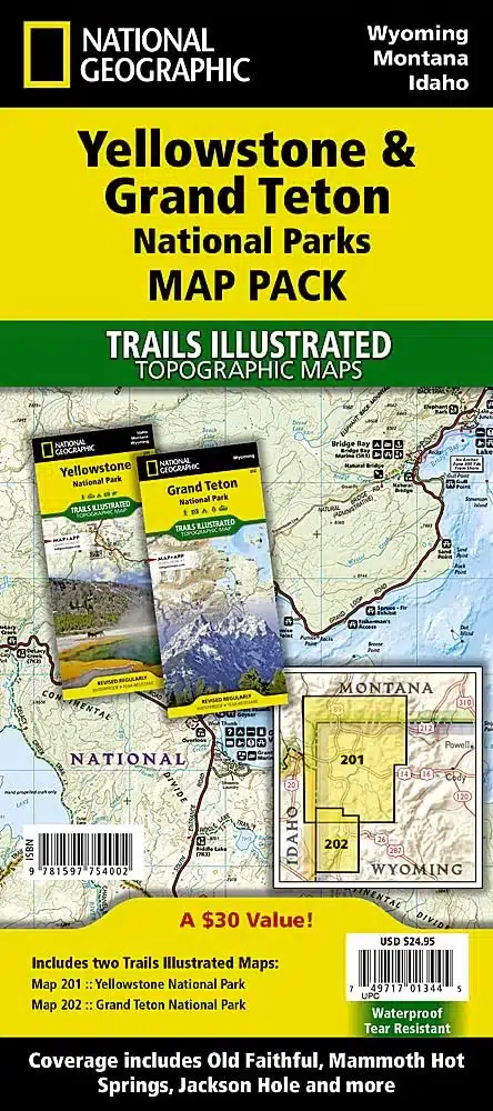
Why It Rocks: Waterproof, tearproof, and designed for hikers and survivalists. They include trail systems, natural features, and recreation areas with clarity.
Best For: Rugged bug-out bags where weather and durability matter as much as accuracy.
Pro Tip: Pair with a Suunto MC-2G compass for precision bearings in rough terrain.
3. CalTopo Printed Maps
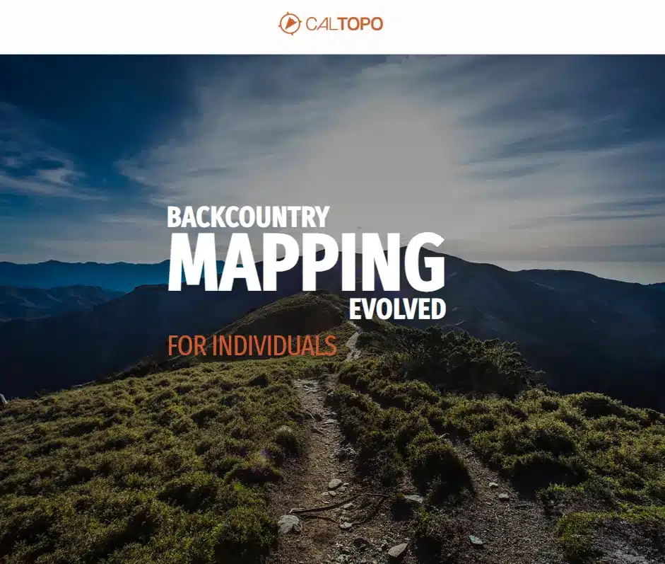
💲 $20–$30 (depending on size & paper type) on CalTopo
Why It Rocks: CalTopo lets you design your own maps online, layering in topo lines, satellite imagery, fire history, slope shading, and even offline survival grids. Then you can have them printed on waterproof paper and mailed to your door. It’s like having a tactical map lab at your fingertips.
Best For: Preppers who want complete customization — bug-out routes, cache locations, and survival overlays in one map.
Pro Tip: Use CalTopo’s shaded relief and slope angle features to spot ambush zones, safe ridgelines, or potential choke points before you ever set foot in the field.
4. MyTopo Custom Maps

Why It Rocks: Custom-printed survival maps tailored to your exact bug-out region. Choose your area, scale, and paper type. Order waterproof, tearproof foldables.
Best For: Preppers who want full control — down to their house, cabin, or bug-out route.
Pro Tip: Order two versions — one zoomed in (1:24,000 for detail), one zoomed out (1:100,000 for o
5. Ordnance Survey Landranger Maps (1:50,000 Scale)

💲 $12–$20 (per sheet, depending on region) on Amazon
Why It Rocks: These British-made topo maps are the closest civilian equivalent to military 1:50,000 charts — highly detailed, easy-to-read, and battle-tested by hikers, survivalists, and yes, even soldiers in training. They cover vast areas, include contour lines, water features, and man-made structures, and are available for huge swaths of the world beyond the U.S.
Best For: Preppers who want tactical-level detail without hunting down restricted military sources.
Pro Tip: Even if you’re not in the UK, Ordnance Survey maps are a great template — use them to train in reading 1:50k scale. For U.S. terrain, order custom equivalents from MyTopo at 1:50,000 scale with MGRS overlays.
Use CalTopo’s shaded relief and slope angle features to spot ambush zones, safe ridgelines, or potential choke points before you ever set foot in the field.
Why Maps Are Still the King of Prepping
In an age where your phone can order pizza, track your steps, and remind you to breathe, it’s easy to think a glowing screen is all you need to navigate. But here’s the ugly truth: tech fails — paper doesn’t.
Your GPS doesn’t care about Murphy’s Law. Batteries die faster in the cold. Satellites lose signal in canyons, deep forests, or urban dead zones. Apps crash, devices break, and updates disappear when the grid goes down. And when it all fails? The only thing that stands between you and walking in circles is a good old-fashioned map.
The Best Maps for Preppers are timeless because they’re grid-proof…A USGS topo or custom MyTopo will work just as well in 2055 as it does today. Contour lines don’t need firmware updates. Rivers, ridges, and valleys don’t vanish because your service provider went bankrupt.
For preppers, a map isn’t just paper — it’s intelligence. It shows you:
- Escape routes your GPS won’t mark.
- Water sources when your bottles run dry.
- Choke points and ambush zones that could turn a bug-out route into a trap.
- Elevation profiles so you know what kind of hell your legs are about to endure.
That’s why the military still trains with paper maps and compasses, even in the era of satellite everything. Because when push comes to shove, it’s the analog backups that keep you alive.
Field Story: When GPS Betrayed Me
The first time I learned this lesson, I was hiking backcountry with a GPS that swore I was on the trail. Except I wasn’t. The “trail” turned out to be a seasonal creek bed, which is basically nature’s way of saying, good luck, idiot. By the time I realized the mistake, I’d burned an extra hour and almost walked myself into a canyon wall.
The only thing that saved me? A folded USGS topo map I had stuffed in my pack “just in case.” Once I lined up my compass with the contour lines, it took five minutes to reorient and get back on track. Without it, I’d have been stuck trying to explain to search-and-rescue how my $300 GPS turned me into a human Roomba.
If you’re serious about prepping, treat maps like you treat your rifle:
- Practice with them regularly. Reading terrain is a skill, not a magic trick.
- Carry backups. One map in your pack, one in your glovebox, one stashed at your bug-out cabin.
- Never leave without one. A compass without a map is half a tool; together, they’re a survival system.
The bottom line? Tech is a convenience. Maps are a lifeline.
Bug-Out Maps vs. Survival Maps — What’s the Difference?
Think of bug-out maps as your fast-exit playbook: they highlight highways, backroads, rally points, and fallback cabins to get you from danger zone to safe zone as quickly as possible. Survival maps, on the other hand, are the deep-game intel sheets — showing terrain details like creeks, ridgelines, choke points, and hidden mobility routes when you can’t (or shouldn’t) stick to the roads. Bug-out maps get you moving fast; survival maps keep you alive when the easy routes collapse. Smart preppers carry both, because the Best Maps for Preppers aren’t just about roads or rivers, they’re about options.
🗺 Bug-Out vs. Survival Maps at a Glance
| Feature | Bug-Out Maps | Survival Maps |
|---|---|---|
| Primary Purpose | Quick evacuation & escape routes | Long-term survival & off-grid living |
| Details Shown | Highways, backroads, rally points, urban routes | Creeks, ridges, choke points, terrain traps |
| Scale | Larger scale (1:100,000 or smaller) for big-picture navigation | Finer scale (1:24,000–1:50,000) for terrain detail |
| Best For | Reaching fallback cabins, safe zones, or family rally points fast | Finding water, safe passages, and off-trail movement |
| Weakness | Lacks terrain detail, risky if roads are blocked | Slower travel, requires skill with compass & pace count |
Pro Tip: Keep a bug-out map laminated in your vehicle for speed, and a survival topo map in your pack for when the grid or road system fails. Together, they give you redundancy and options.
👉 You need both. One gets you out. The other keeps you alive.
Wrapping Up and My Experience
The first time I skipped carrying a map, I thought I was saving weight. Big mistake. Within an hour I realized I’d been hiking in what can only be described as a world-class NASCAR loop — a perfect circle in dense forest. Not once, but twice. By the time I caught on, I’d wasted daylight, burned energy, and nearly convinced myself the woods were trolling me. Lesson learned: bravado doesn’t beat preparation.
Since then, I treat the Best Maps for Preppers like survival insurance. My current kit isn’t fancy, but it’s bulletproof: a custom MyTopo of my bug-out zone with cache locations marked, a NatGeo waterproof map of the nearest national forest for when weather decides to hate me, and a set of laminated USGS quads organized in a binder. Some folks call that overkill. I call it peace of mind — the difference between confidently moving through terrain and starring in a search-and-rescue report.
If the day ever comes when the grid blinks out and GPS apps vanish, I don’t want to be the guy arguing with a dead phone. I want to be the guy unfolding a map, lining up my compass, and knowing exactly where I’m headed. Because at the end of the day, maps aren’t just paper — they’re survival freedom in your hands.
Final Prepper Pro Tip
Always carry at least three maps:
- Local map → For your immediate area and bug-out starting point.
- Bug-out route map → Highways, backroads, rally points, fallback locations.
- Regional survival map → Big-picture terrain, rivers, elevation, and long-distance options.
- Mix and match from the Best Maps for Preppers list above to cover all your bases.
Field Notes & Pro Tips
- Carry at least three maps: local, bug-out, regional.
- Store maps in map cases — waterproof sleeves are worth it.
- Combine maps with compass bearings + pace beads = full land nav redundancy.
- Always assume: Two is one. One is none.
FAQs About Prepper Maps
Q: Can I just use gas station maps?
A: Only if you like missing every creek, elevation line, and trail that matters.
Q: What map scale is best for preppers?
A: 1:24,000 for detail, 1:100,000 for overviews. Both are essential.
Q: Are waterproof maps really necessary?
A: Absolutely. Sweat, rain, rivers — survival isn’t gentle on paper.
Q: Where do I buy military maps?
A: Prepper gear shops, online surplus stores, or custom print services.
Internal Links for SEO & Readers
- 7 Best Compasses for Preppers in 2025
- Compass Skills For Beginners: Navigate 2025 without getting eaten (or lost)
- Understanding Magnetic Azimuths: A Navigator’s Guide to Precision
Heads-Up, Fellow Preppers:
Some links in this post are sponsored or affiliate links. If you click and buy, I may earn a small commission—enough to restock my peanut butter and maybe add one more can of chili to the stash. I only recommend gear I trust, use, and would hide in a bug-out bag.